Interactive Map of Scout Hiking Trails in the Bay Area
– Map as KMZ file (view in browser or with Google Earth)
– Google Maps view (Pack 104 password protected – must request access)
 A series of Cub Scout hikes that explore the diversity of the Bay Area and introduce a variety of environmental and geological elements. A large colorful square patch is earned by completing the first hike. Each subsequent hike earns an applicable small segment patch which can be displayed along the sides of the main patch.
- Angel Island SP, via ferry
- Black Diamond Mines RP, Antioch
- Coyote Hills RP, Fremont
- Flag Hill, Sunol R Wilderness
- Hoot Owl, Sycamore Grove RP, Livermore
- Hoot Owl, California Nursery Historical Park, Fremont
- Huckleberry Botanic Preserve, Oakland
- Little Yosemite Sunol R Wilderness
- Morgan Terrritory R Preserve, Livermore
- Redwood Creek, Redwood RP Oakland
- Rodeo Lagoon, Golden Gate NRA, Marin
- Sycamore Grove RP, Livermore
- Wildcat Peak, Tilden RP, Berkeley
(Golden Gate Area Council, Scouting America)
A series of 14 progressive hikes with a large center patch awarded after the first hike, and an additional rocker for each hike. Many of the hikes follow specific trails, but some may be awarded for any hike done within the park. Many of the hikes have shorter distance requirements for Cub Scouts.
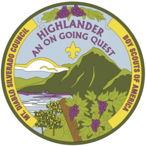 Anderson Marsh
- Bald Mountain
- Black Diamond
- Boggs Mountain
- Briones
- Dorn Trail
- Fages Trail
- Goat Rock
- Las Trampas
- Mt. Diablo
- Mt. Konocti
- Mt. St. Helena
- Redbud Trail
- Snow Mountain
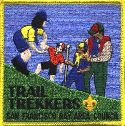
Marin Hiking Trails (Marin Council, Scouting America)
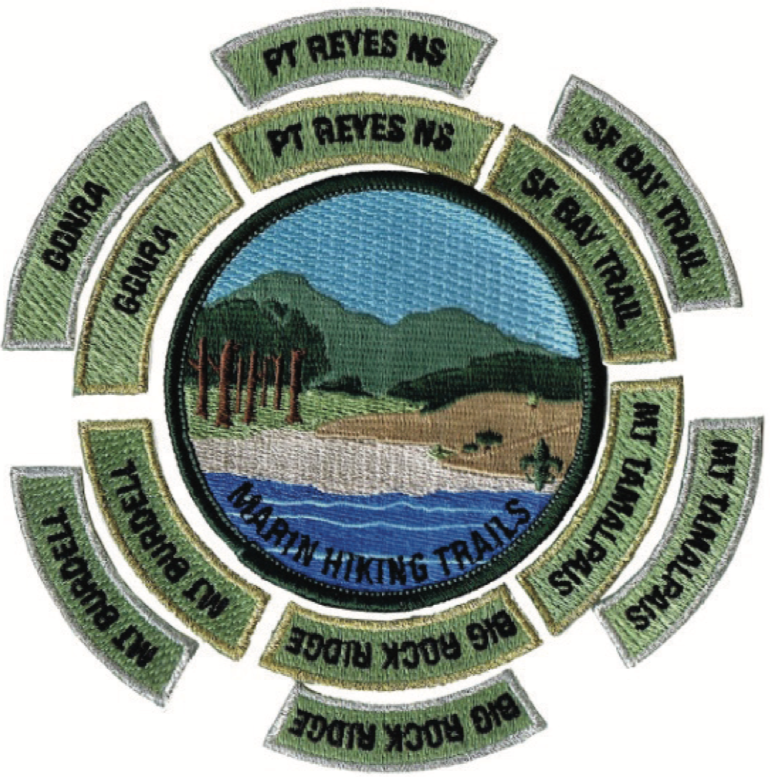
The Cub Scout award has a gold border for 1-mile segments, and a silver border for 5-mile segments. Hikes must be done continuously (not split overnight) and be a minimum of 1 or 5 miles along any existing trails in the designated location (e.g. 1 mile on the Earthquake Trail in Point Reyes NS).
– GGNRA
– Pt Reyes
– Mt Burdell
– Mt Tamalpais
– Big Rock Ridge
– SF Bay Trail
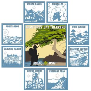
Wilder Ranch
Pinnacles
Point Lobos
Pico Blanco
Garland Ranch
Elkhorn Slough
Fremont Peak
Nisene Marks
Monterey Historical Trail (a vintage hike from the Monterey Bay Area Council, Scouting America)
This recently resurrected historic hike was created around the 1960s or 1970s by Troop 3 of Carmel. This 5-mile loop trail starts and ends at the Presidio of Monterey Museum (plenty of parking available at the Lower Presidio Historic Park). The hike explores the Presidio, the historic downtown, the Spanish mission and cathedral, El Estero, the waterfront, Old Fisherman’s Wharf, two piers, and Cannery Row, among other sights.
Redwood Regional Challenge (Redwood Empire Council, Scouting America)
Units are encouraged to hike or perform service projects in 8 designated Regional Parks as part of this partnership between Sonoma County Regional Parks & the Redwood Empire Council. After completion of the first hike or service project, each participant receives a center patch and rocker representing the park visited. Two rockers (one for completing a hike and one for participating in a service project) can be earned for each of the eight Regional Parks listed below:
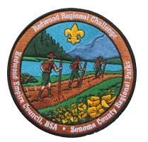
- Crane Creek
- Helen Putnam
- Hood Mountain
- Ragle Ranch
- Riverfront
- Shiloh Ranch
- Sonoma Valley
- Spring Lake
Rim Rovers (Golden Gate Area Council, BSA)
Although not recommended for Cub Scouts, RIMROVERS promotes hiking and a “mountain top” experience. There are six peaks that surround our area in the RIM OF THE BAY patch program. After your first mountain you get a large central patch and a “rocker” with its name. Rockers are awarded for each additional hike completed. All hikes can be accomplished in a single day and there are camping sites at or near most if your plans include an overnight camp experience.

Mission Peak, Fremont, CA
Mount Diablo, Danville, CA
Mount Tamalpais, Mill Valley, CA
Mount Wittenberg, Point Reyes, CA
Mt St Helena, Calistoga, CA
Pinnacles, Pinnacles, CA
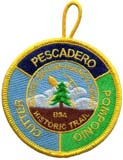
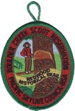

- Redwood Historic Trail
- Pacific Skyline Council Camps Historic Trail
- Boulder Creek Nature Trail
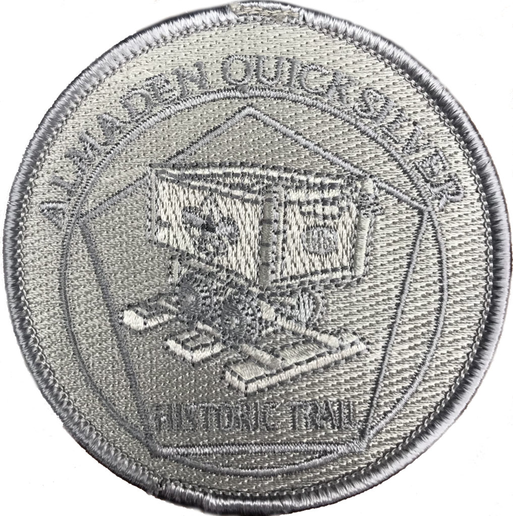
guided tour is intended to provide an introduction to
the history of the New Almaden Quicksilver mining
operation for the scouts and public of the Santa Clara
County.” Trail guide and map
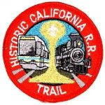
Sacramento Historic Trail (Golden Empire Council, BSA)
 Awarded for a one-day 5-mile urban hike to remember and experience the California Gold Rush in Sacramento:
– Hike the trail as shown on the map from Sutter’s Fort to Old Sacramento and back (about 5 miles).
– Visit the State Capital (admission is free) & State Railroad Museum (admission is charged).
– A visit to Sutter’s Fort is recommended (admission is charged).
1. Take a train (light rail using the Blue line (Watt 1-80 – Cosumnes River College), the Gold line (Folsom) or the Green line (Richards/Township 9)) to downtown Sacramento
2. Visit the California State Railroad Museum (admission required).
El Cerrito Historical Trail (El Cerrito Pack 104)
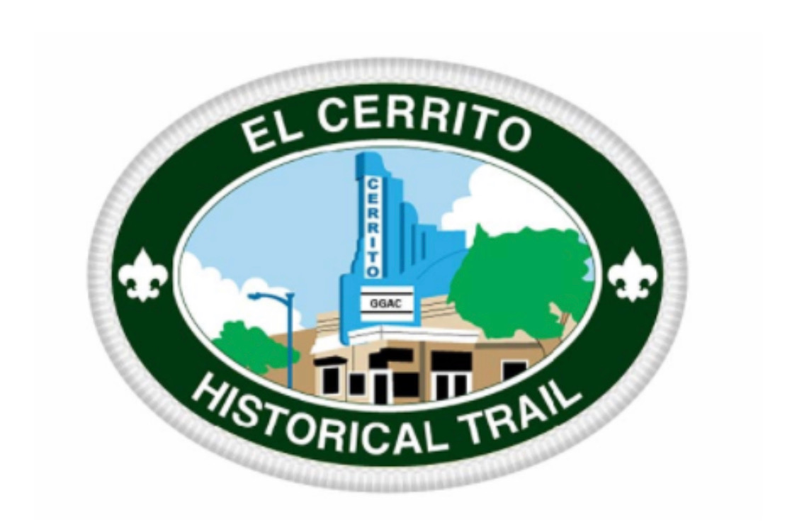
Pack 104’s hometown Historical Trail.
Click here for details.
El Cerrito Hillside Natural Area (El Cerrito Troop 104)
Ready for more hiking adventures in El Cerrito? You can find them right here in the Hillside Natural Area, one of the city’s hidden gems, with several miles of trails spread over 100+ acres.
 In 1978, a Scout from Troop 104 established a Nature Trail here for his Eagle Project. Another Troop 104 Scout gave it a refresh and revamped the Trail Guide for his Eagle Project in 1990.
Download the 1978 and 1990 materials today and hit the trail!